Growing wildfire risk at the wildland-urban interface: Small flames, major evacuations
A mere 20-acre fire forcing thousands to evacuate shows how unchecked urban growth, combined with climate-driven drought, is shifting firefighting strategies toward 'neighborhood defense.'
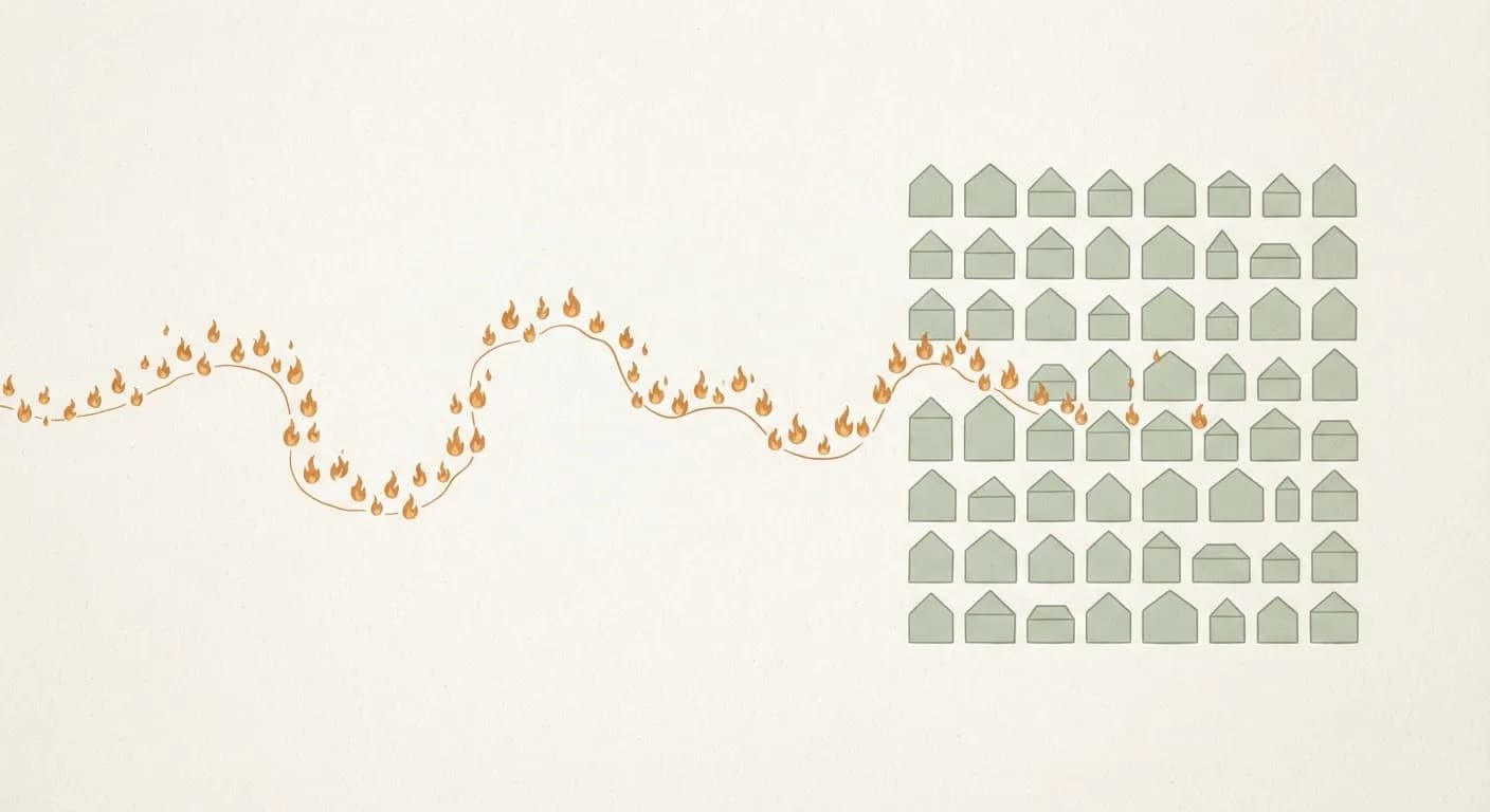
In the western United States, unchecked housing projects spreading into neighborhoods intertwined with forests, combined with drought deepened by the climate crisis, are multiplying urban fire risk. In 2024, a small fire in Reno, Nevada, affecting just 20 acres, triggered evacuation warnings for thousands of people—the latest evidence that firefighting strategy has shifted from "protecting forests" to "defending neighborhoods."
According to data from the SILVIS Lab at the University of Wisconsin–Madison, areas defined in the U.S. as the Wildland-Urban Interface (WUI)—where settlements intermingle with natural terrain—were the fastest-growing land-use type between 1990 and 2020. The number of housing units in these zones rose from 30.8 million to 44.8 million over that 30-year span, reaching 39 percent of all homes in the country. This growth has carried the fire threat directly into the heart of residential areas.
While fires traditionally begin in wildlands and are kept away from built-up areas, increasing drought and people's desire to "live in nature" have pushed development toward forest edges, placing new pressure on firefighting resources—including congestion on evacuation routes. That pressure turned into concrete destruction in Spokane County, Washington, in 2023. According to official data from the Washington State Department of Natural Resources, the Gray and Oregon Road fires in August 2023 burned more than 23,000 acres and destroyed 710 structures in total, 366 of which were primary residences.
As the 2024 summer season followed that destruction, it served as a clearer warning of the scale of the risk. The Hawk Fire, which broke out in Reno's Somersett neighborhood in August 2024, burned only 20 acres. However, according to a statement by the Truckee Meadows Fire Protection District to KOLO-TV, the fire's proximity to the built environment forced evacuation warnings for thousands of people. Later that September, the Davis Fire in the city's southwest triggered a far larger alarm. Per data released by the U.S. Forest Service via InciWeb, that blaze burned 5,824 acres, destroyed 14 homes, and, because it advanced toward urban areas, displaced more than 20,000 people.
Experts believe this strategic shift in firefighting is also a critical warning for Turkey. Second homes and tourism facilities spreading unplanned into forests along the Aegean and Mediterranean coasts create a similar "wildland-urban interface" risk. A project titled "Mapping Turkey's Fire-Sensitive Watershed Wildland-Urban Interface Areas," conducted by Bartın University with support from TÜBİTAK (the Scientific and Technological Research Council of Turkey), aims to quantify this risk with numerical data. The major wildfires in Muğla and Antalya in summer 2021 painfully demonstrated how difficult it becomes to establish defense lines and manage evacuations in those interface zones where settlements are interwoven with forest.
Scientists warn that, alongside heatwaves whose frequency and intensity are rising due to climate change, every new structure in these "interface" areas could turn into a potential fire trap. This reality shifts the focus of firefighting strategies from wildlands to residential zones, multiplying the strain on limited firefighting resources.
This article was produced with the assistance of AI tools and reviewed by an editor before publication.