This year's El Niño is on pace to become the strongest ever recorded
A Carbon Brief analysis finds this year's El Niño intensifying faster than any event on record, with forecasts pointing to an unprecedented peak this winter.
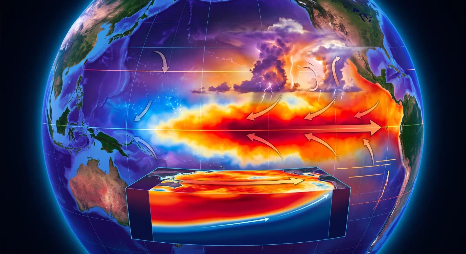
This year's El Niño event, which began in June, is intensifying faster than any on record, according to a Carbon Brief analysis. As of Sept. 19, sea surface temperatures in the tropical Pacific's Niño 3.4 region reached a daily anomaly of 3.07 degrees Celsius, statistically tied with the previous record set in November 2015 — but months earlier in the calendar than El Niño typically peaks.
Using a NOAA-standard 1991-2020 baseline, the event has already set a new record, running more than a full degree warmer than 1997 and 2015 at the same point in September. Forecast models from 14 seasonal systems now project the event will peak between November and January at roughly 4.1 degrees Celsius, a full 1.3 degrees above the 2015-16 record, a margin larger than the entire spread between history's strongest and fifth-strongest El Niño events.
Scientists caution that no forecasting system has ever been tested against an event this large, since none has occurred before, and this summer's real-world readings came in slightly cooler than models predicted. Still, every strong El Niño on record has kept strengthening into winter. Because El Niño's warming effect on global temperatures typically lags by several months, its biggest impact is expected to land in 2027 rather than this year.
This brief is based on reporting and analysis by Zeke Hausfather for Carbon Brief. Read the original: https://www.carbonbrief.org/analysis-super-el-nino-reaches-remarkable-all-time-record
This article was produced with the assistance of AI tools and reviewed by an editor before publication.